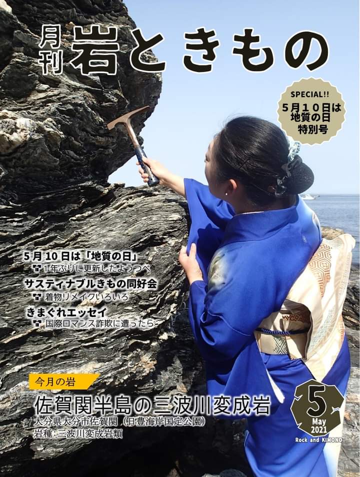
”On May 10, 1876, Japan’s first wide-area geological map, “Japan Ezo Geological Survey” (1/2 million) was created, May 1878. “Geological Day” was established in 2007 because the organization that handles geological surveys (Geological Division, Geological Bureau, Ministry of Interior) was established on the 10th.”(https://www.meti.go.jp/press/2018/05/20180501002/20180501002.html)
「明治9年(1876年)5月10日に日本で初めて広域的な地質図として「日本蝦夷地質要略之図」(200万分の1)が作成されたこと、明治11年(1878年)5月10日に地質の調査を扱う組織(内務省地理局地質課)が定められたことに由来して、平成19年(2007年)に「地質の日」が制定されました。」(経済産業省のWebサイトより抜粋。https://www.meti.go.jp/press/2018/05/20180501002/20180501002.html)

